Map Skills Lesson
Presentation
•
Social Studies
•
4th Grade
•
Medium
Allie Beasley
Used 18+ times
FREE Resource
11 Slides • 10 Questions
1
2
3
Fill in the Blanks
What Cardinal direction is missing?
Type answer...
4
Multiple Choice
The seals are South or East of the elephants?
South
East
5
Multiple Choice
What animal exhibit is NORTH of the Snack Shop?
Penguins
Giraffes
Zebras
Peacocks
6
Multiple Choice
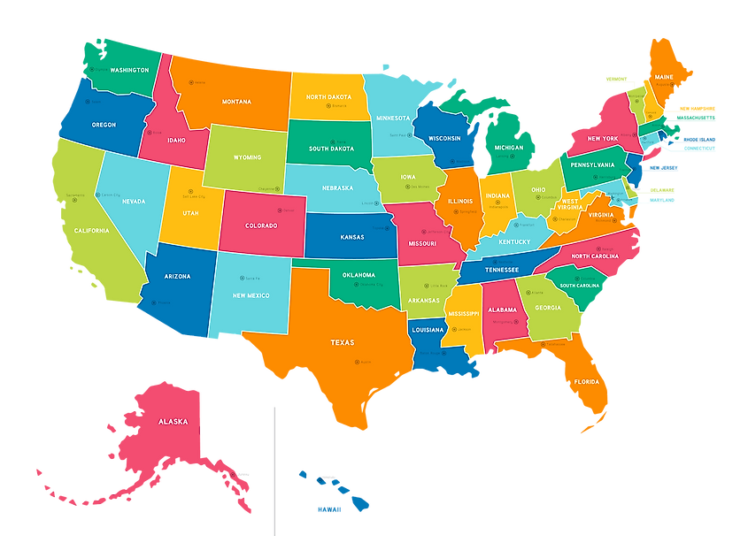
Which direction would you travel to go from Washington to Oregon?
North
South
East
West
7
Multiple Choice
What is located south of Grove and west of School Streets?
A diner
A food store
A bank
A school
8
9
The title of a map tells you what subject matter the map highlights.
10
Multiple Choice
The title of this map is _________.
States of New Hampshire and Vermont
"States of New Hampshire and Vermont"
"Vermont and New Hampshire"
11
The scale of a map shows you how much distance in real life is represented by specific lengths on a map.
12
Fill in the Blanks
How many miles does 1 inch represent on this map?
Type answer...
13
Most of the time, the upper edge of a map will be north. Check for a compass inset to be sure.
14
Open Ended
If the upper edge of a map is north, what direction is the lower edge?
15
The legend or key on a map shows you what different colored lines and symbols represent.
16
Multiple Choice
What color line are roads and highways marked in?
blue
green
red
rainbow
17
Multiple Choice
What does a circle represent?
state parks
city or town
wildlife refuge
airport
18
Physical maps focus on landforms and elevation. They show mountains, plateaus, rivers, deserts, and any other types of geographical features. Cartographers often use brown, green, or gray color schemes to represent the various physical features and elevations.
19
Many physical maps have a key showing color changes and elevation. On this map, the darker blue represents deeper water and the darker brown represents higher elevations.
20
Political maps focus on boundaries between places such as countries, counties, states, provinces, or regions. They may also show major cities, towns, and settlements depending on the purpose of the map.
21
Show answer
Auto Play
Slide 1 / 21
SLIDE

Similar Resources on Wayground
15 questions
Civil Rights Movement
Presentation
•
4th Grade
15 questions
Mexican-American War
Presentation
•
4th - 5th Grade
15 questions
Indigenous Peoples Day
Presentation
•
4th Grade
15 questions
Civil War Lesson
Presentation
•
5th Grade
15 questions
Key Figures in The Revolutionary War
Presentation
•
4th Grade
19 questions
One Country Six Regions
Presentation
•
4th Grade
16 questions
Numberless Word Problems
Presentation
•
4th Grade
16 questions
Lines, Points, Line Segments, Rays
Presentation
•
4th Grade
Popular Resources on Wayground
10 questions
Safety Day 2026 – Student Review
Quiz
•
9th Grade
21 questions
Continents and Oceans
Quiz
•
6th Grade
20 questions
Parts of Speech
Quiz
•
5th Grade
16 questions
Subject & Predicate
Quiz
•
5th Grade
25 questions
Multiplication Facts
Quiz
•
5th Grade
12 questions
Map Skills
Quiz
•
3rd Grade
22 questions
Continents and Oceans
Quiz
•
5th Grade
15 questions
Rounding Decimals
Quiz
•
5th Grade
Discover more resources for Social Studies
14 questions
Age of Exploration
Quiz
•
4th Grade
22 questions
Northeast states and capitals
Quiz
•
4th Grade
9 questions
Hardships In Jamestown Vs.3f
Quiz
•
4th - 5th Grade
11 questions
Northeast Region States
Quiz
•
4th Grade
5 questions
Math GI 2.1.4 Quiz Review
Presentation
•
1st - 5th Grade
25 questions
Virginia Studies Regions/Rivers
Quiz
•
4th Grade
12 questions
Unit 3 VS.3d
Presentation
•
4th Grade
5 questions
The Boston Massacre
Interactive video
•
4th Grade